Wyoming’s First Settlement–a ‘hidden’ gem, Fort Laramie


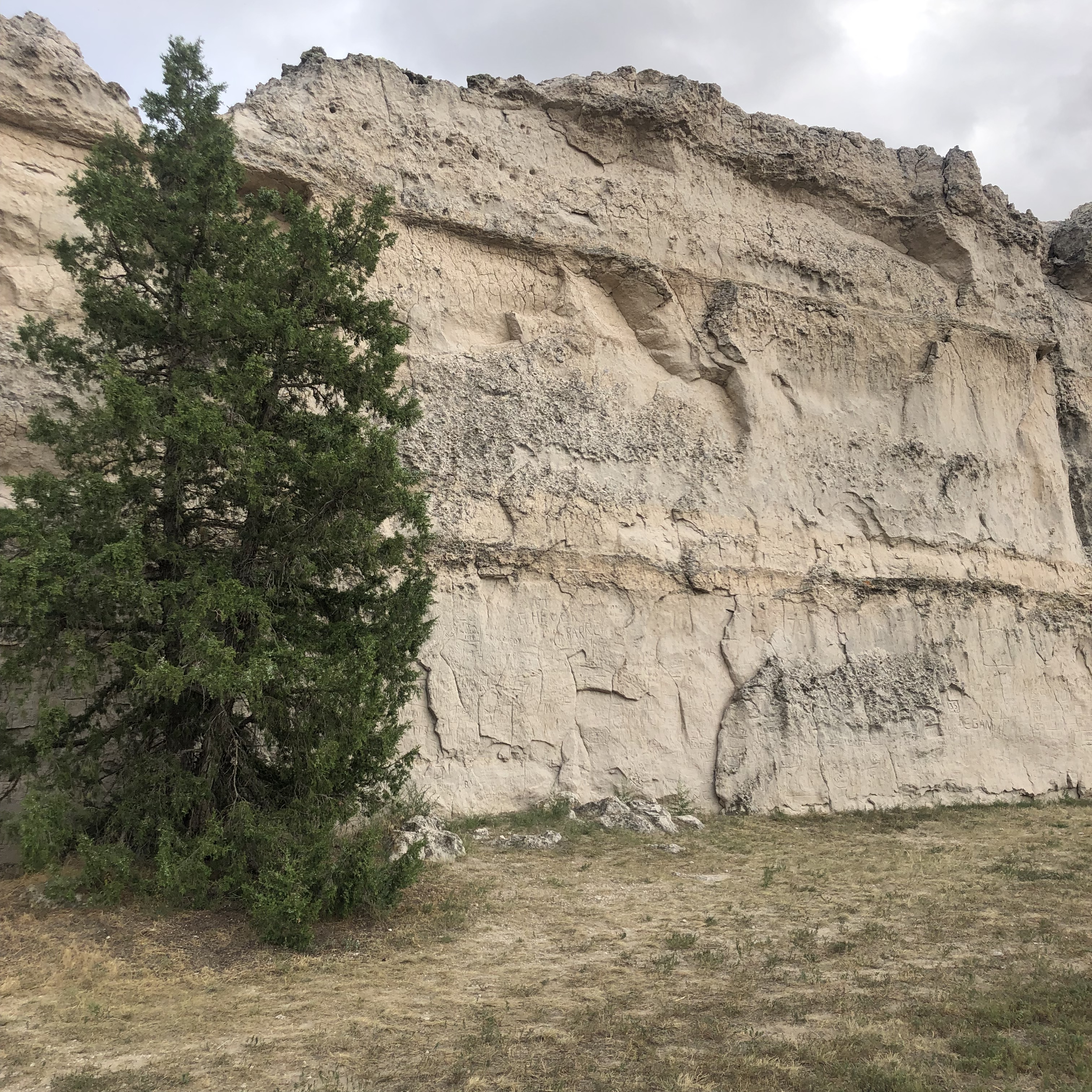
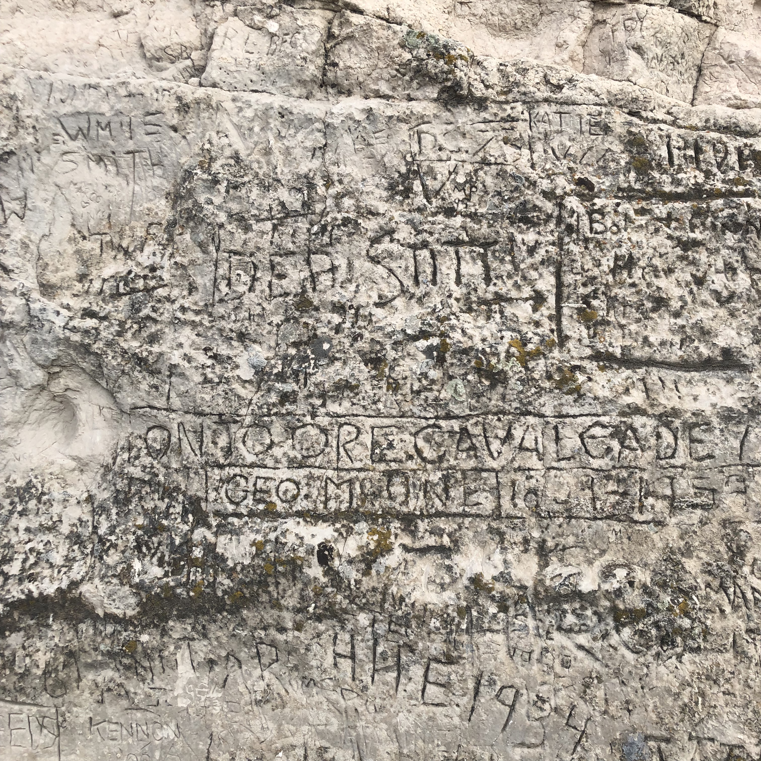
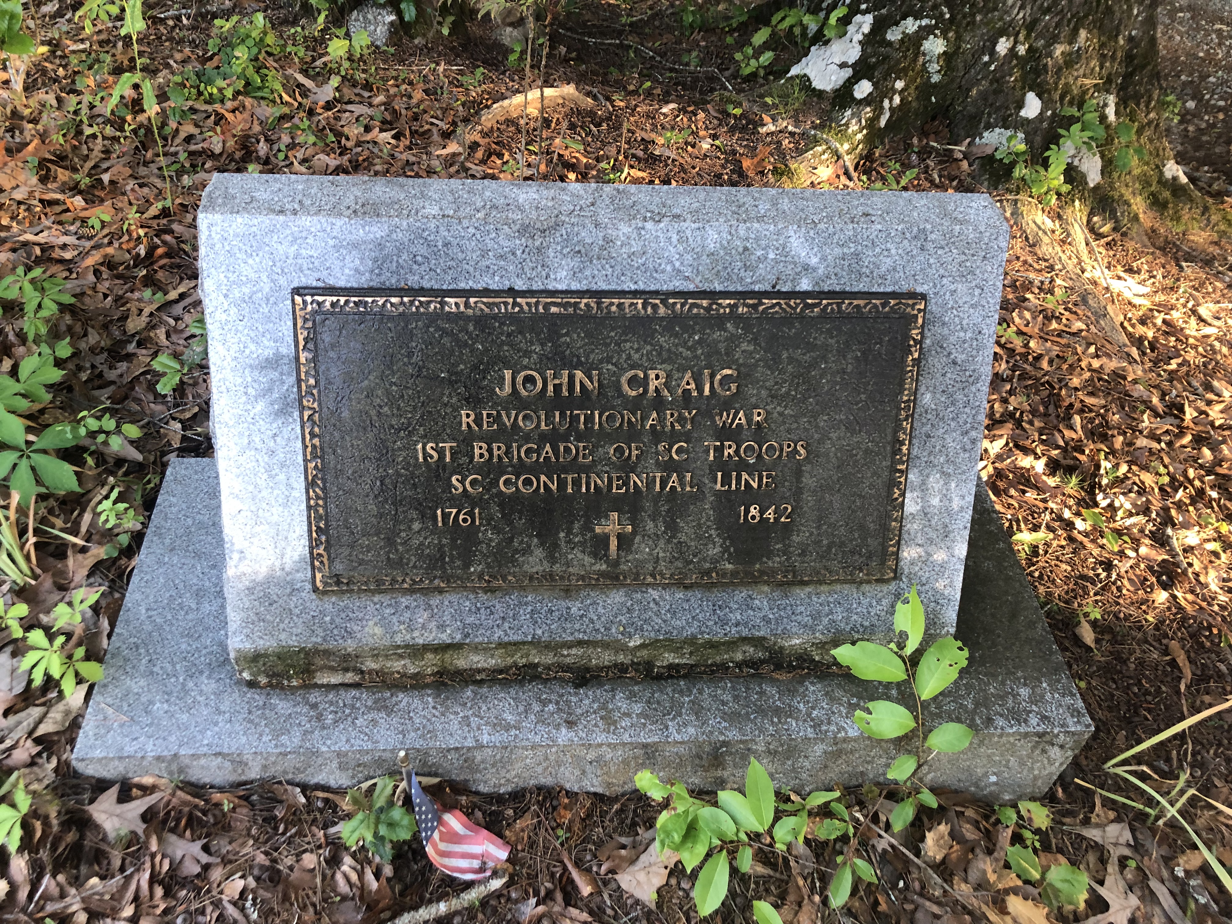
Wyoming is filled with many “hidden” treasures. Little gems of history and fortitude are everywhere. Fort Laramie doesn’t disappoint. It’s thrilling in its quiet beauty and historical realms.

Fort Laramie is still a small town, population roughly 1,000. Located along the Laramie River in Southeast Wyoming, it’s well worth visiting and spending a full day exploring the fort and the Iron Bridge (located very close together, less than 2 miles apart.)

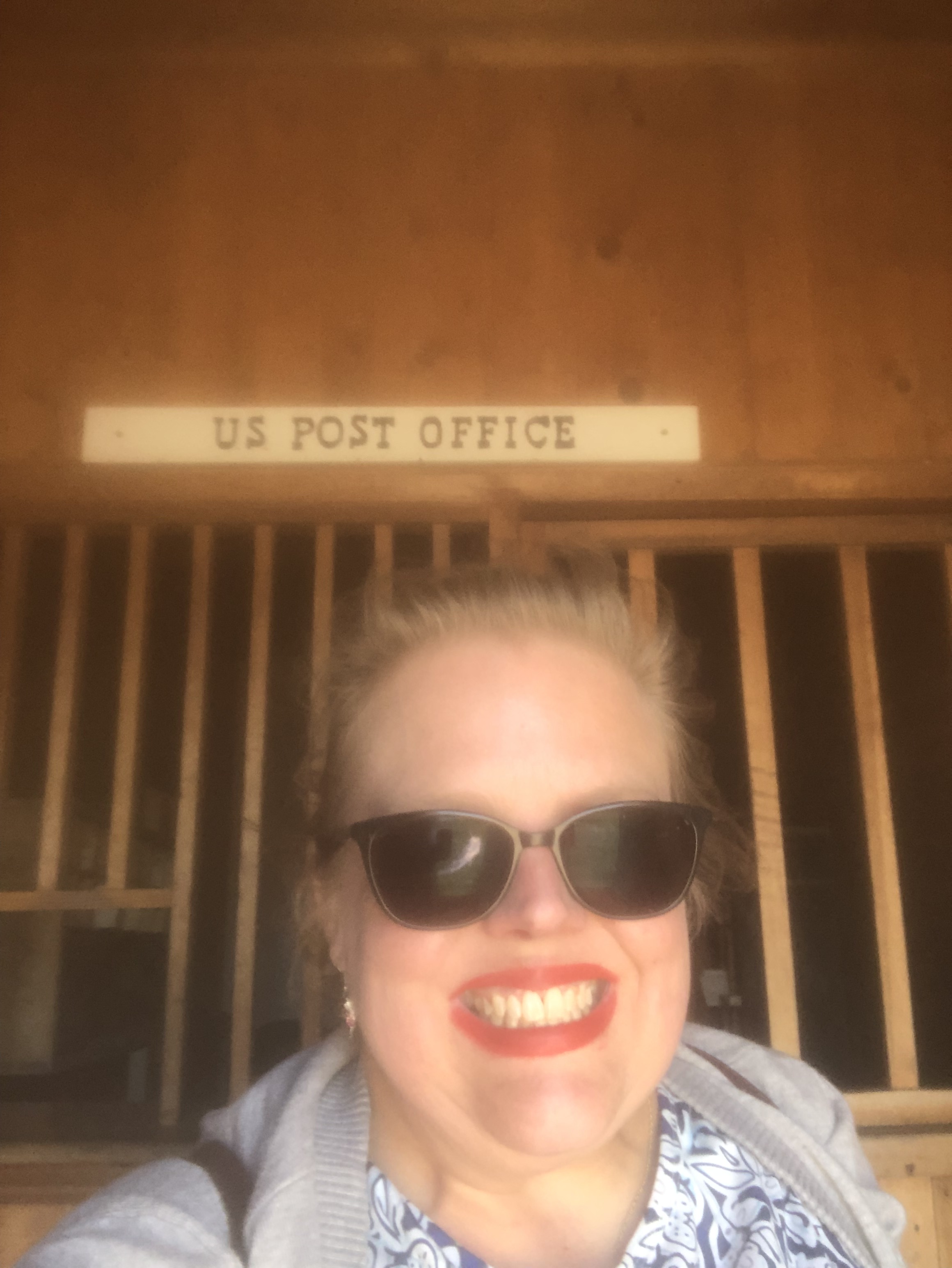
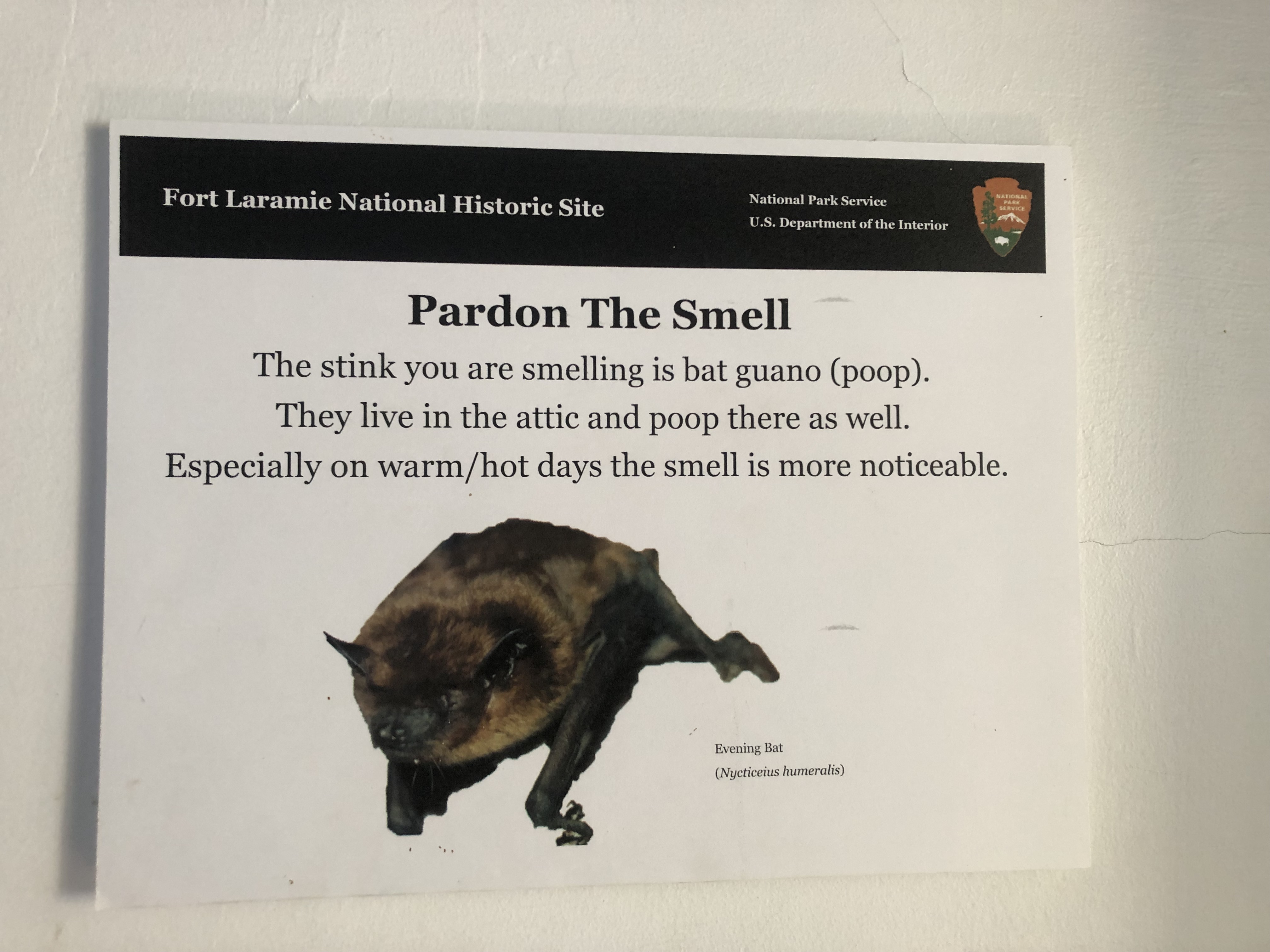
The Visitors center of Fort Laramie historical site is located inside the old supplies facility. It has been nicely converted into a little museum. The museum is abundant in the historical telling of the fort itself. It also offers wonderful selections of goodies. The visitor center also has a vast variety of postcards and an ample range of postmarking stamps! There is a derelict post office on site. It was once part of the fort’s functional aspects more than a century ago. Yet, the active post office is located in the town. This allows one to write to a loved one about their awesome adventures. They can mail it off from the town itself!

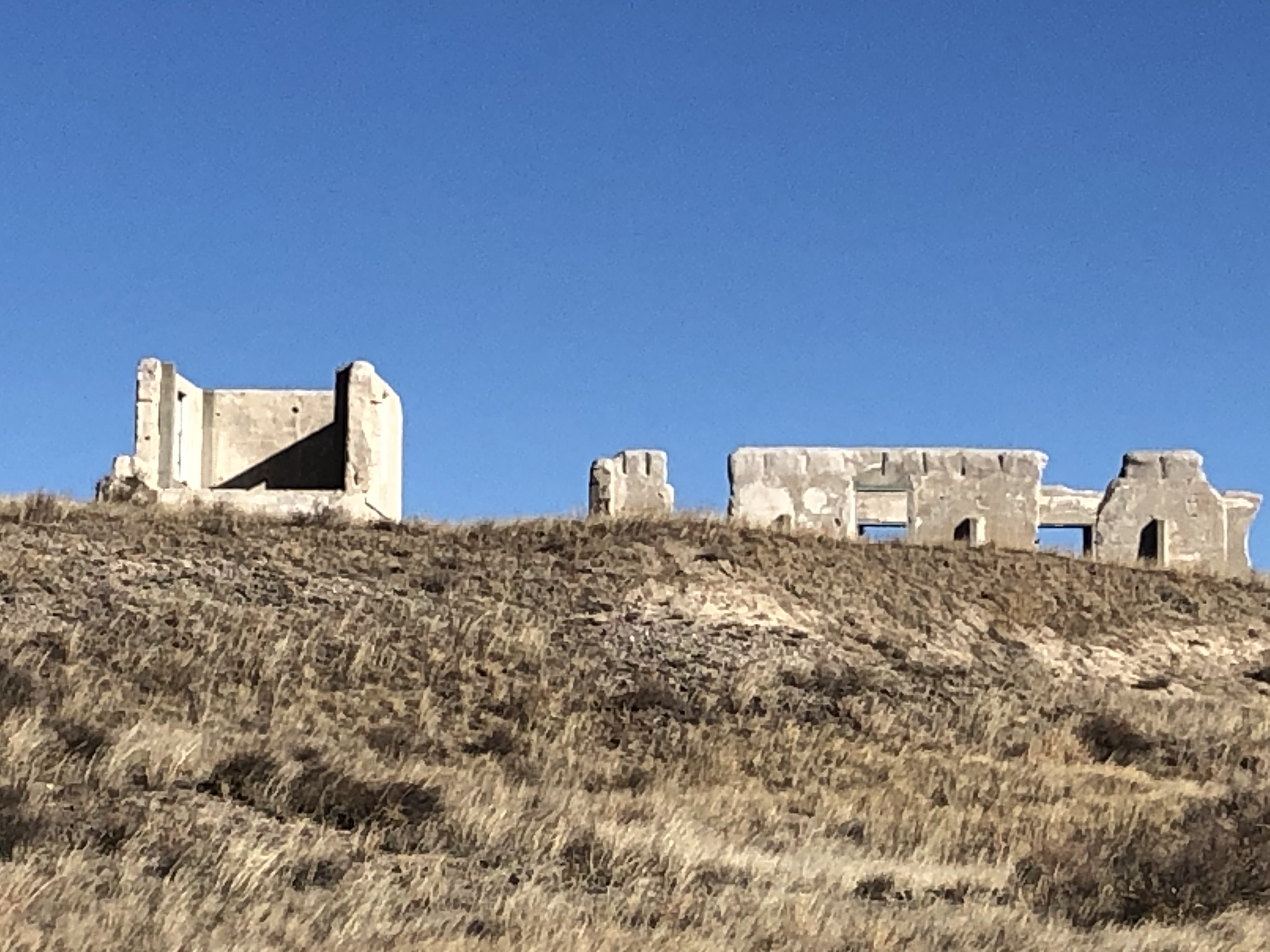
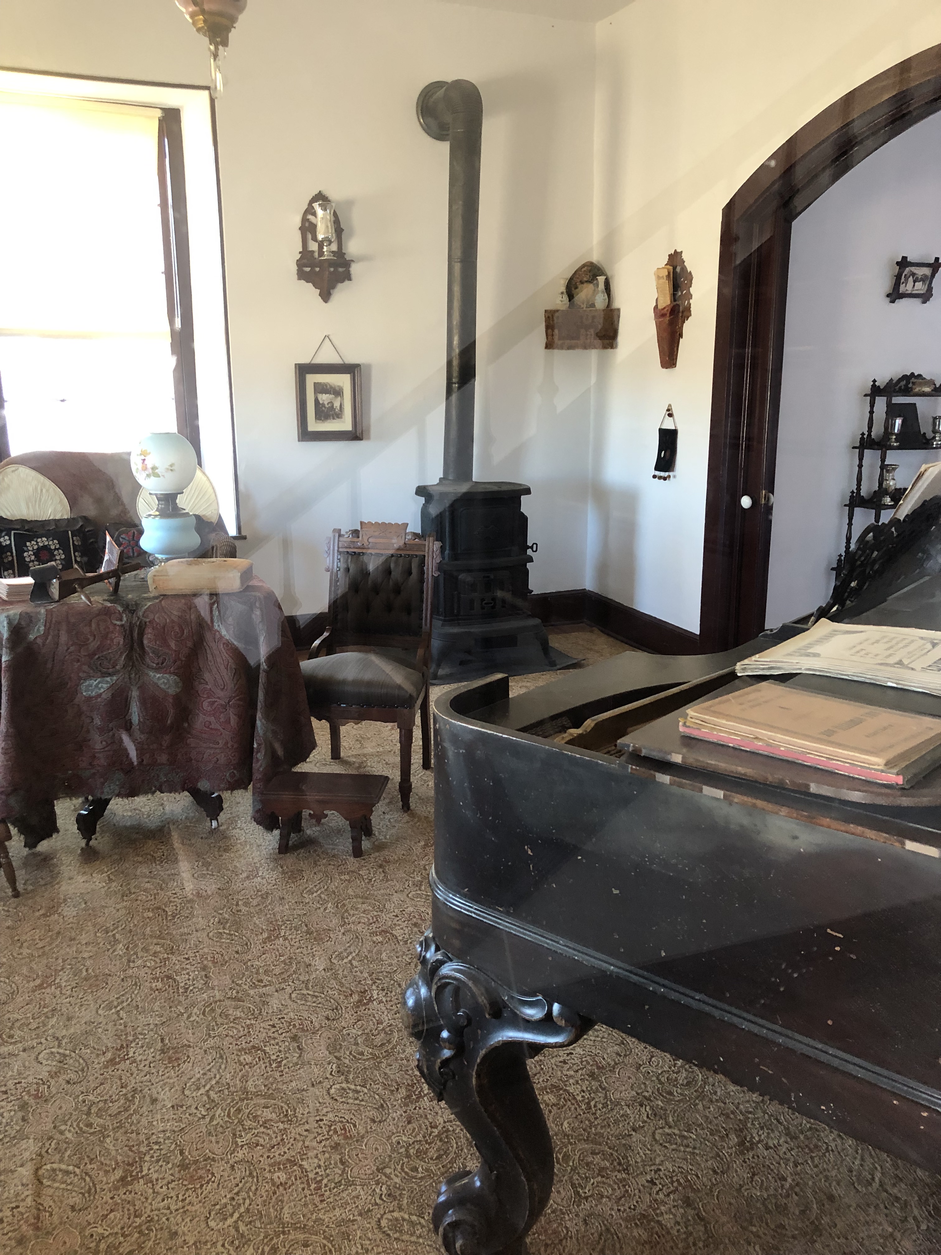
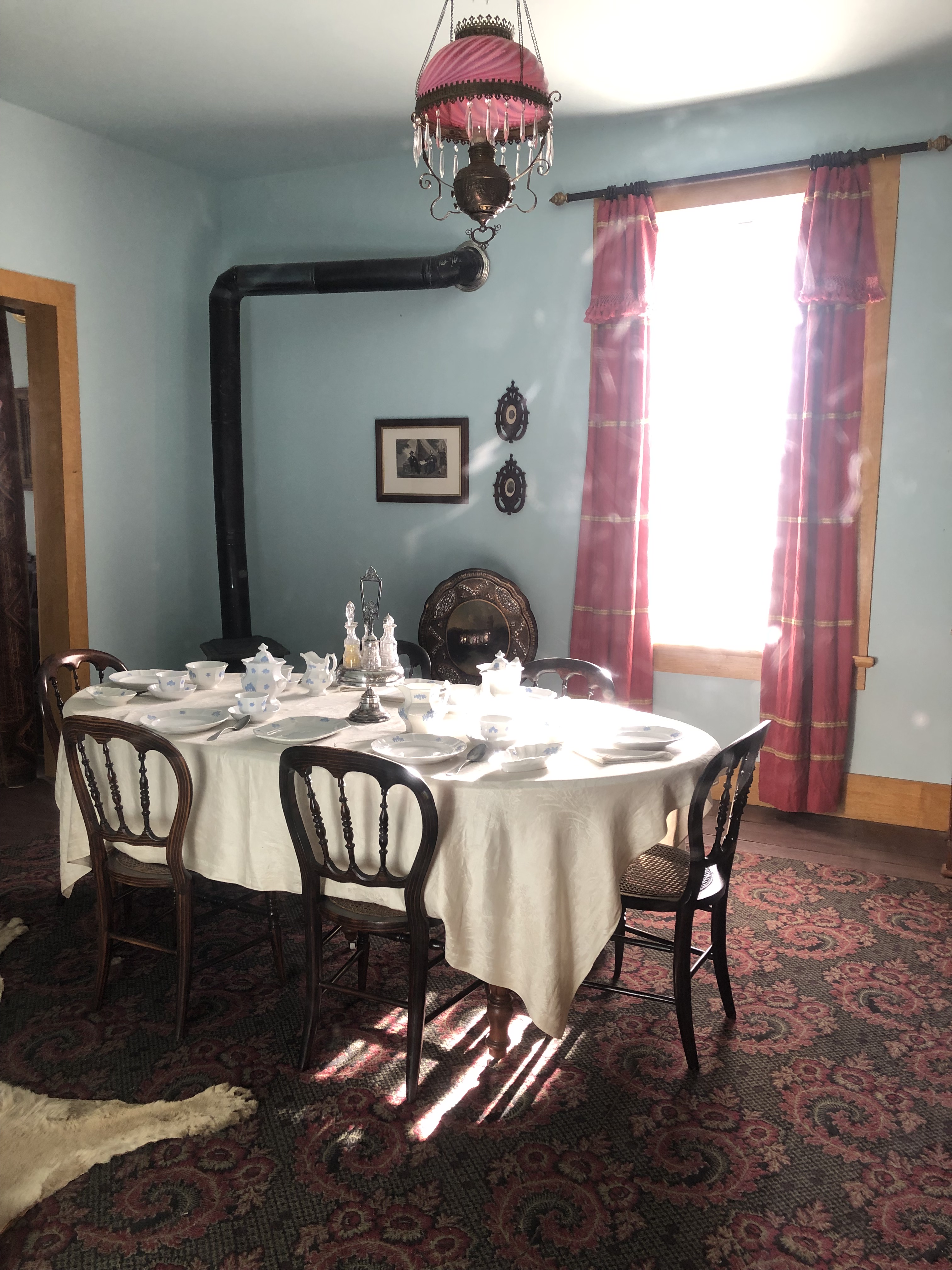
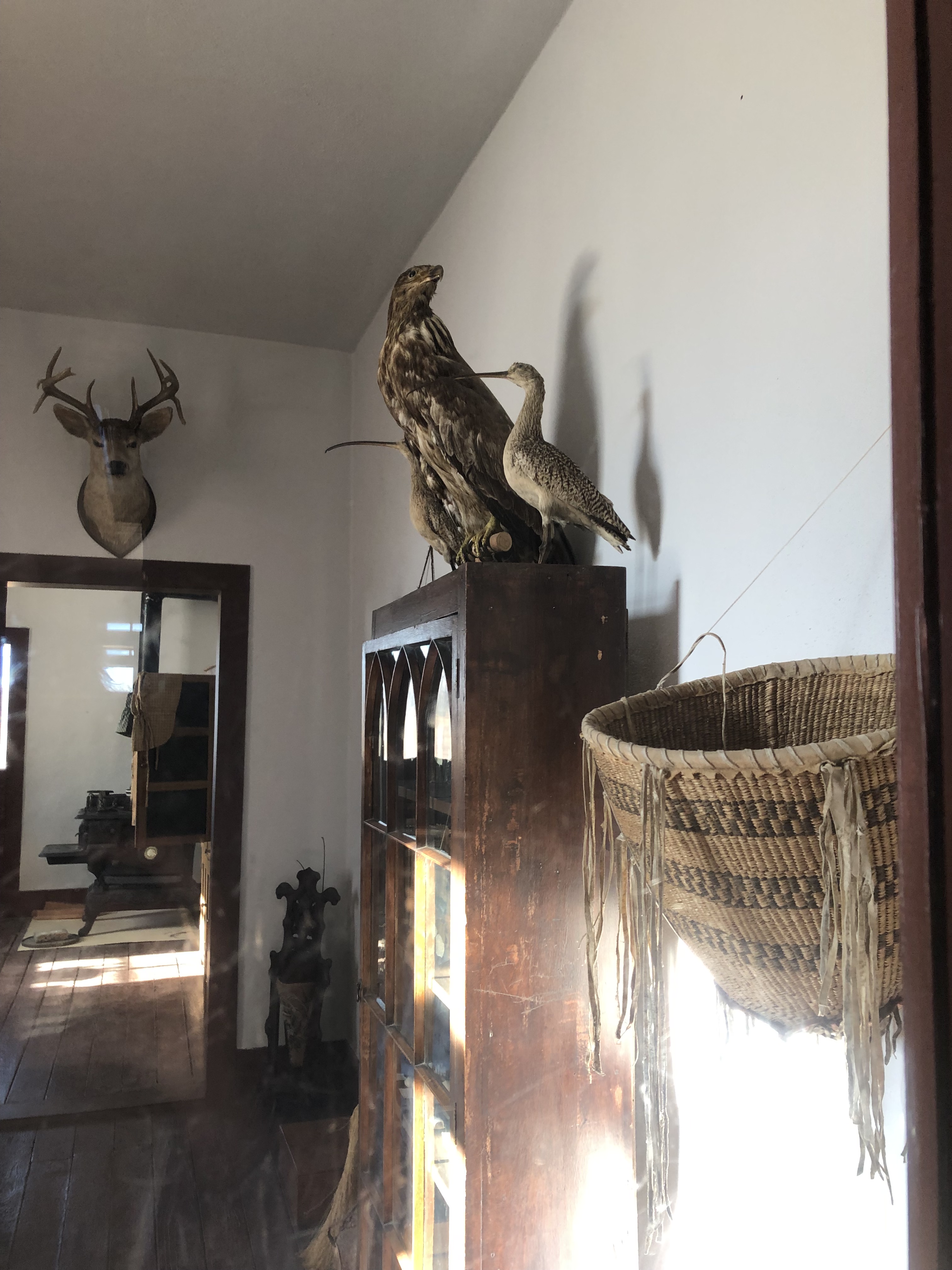
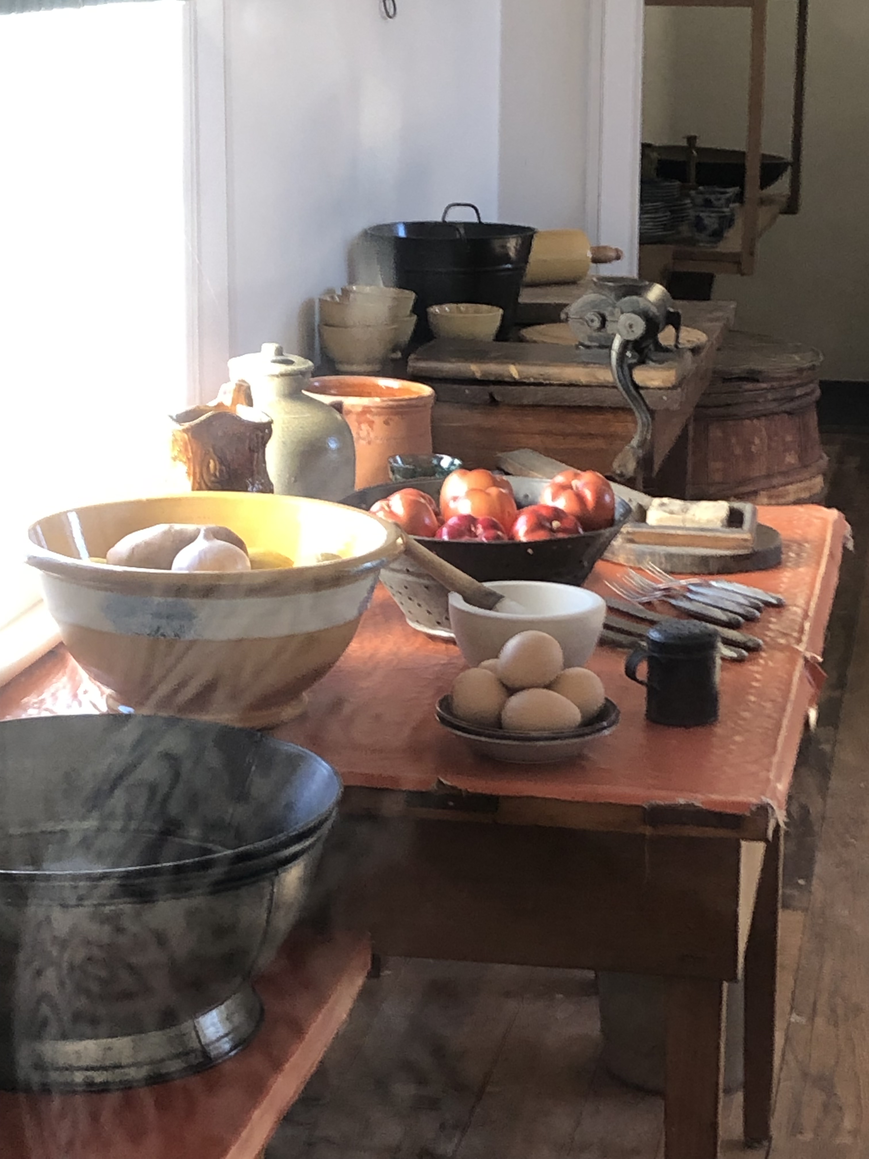
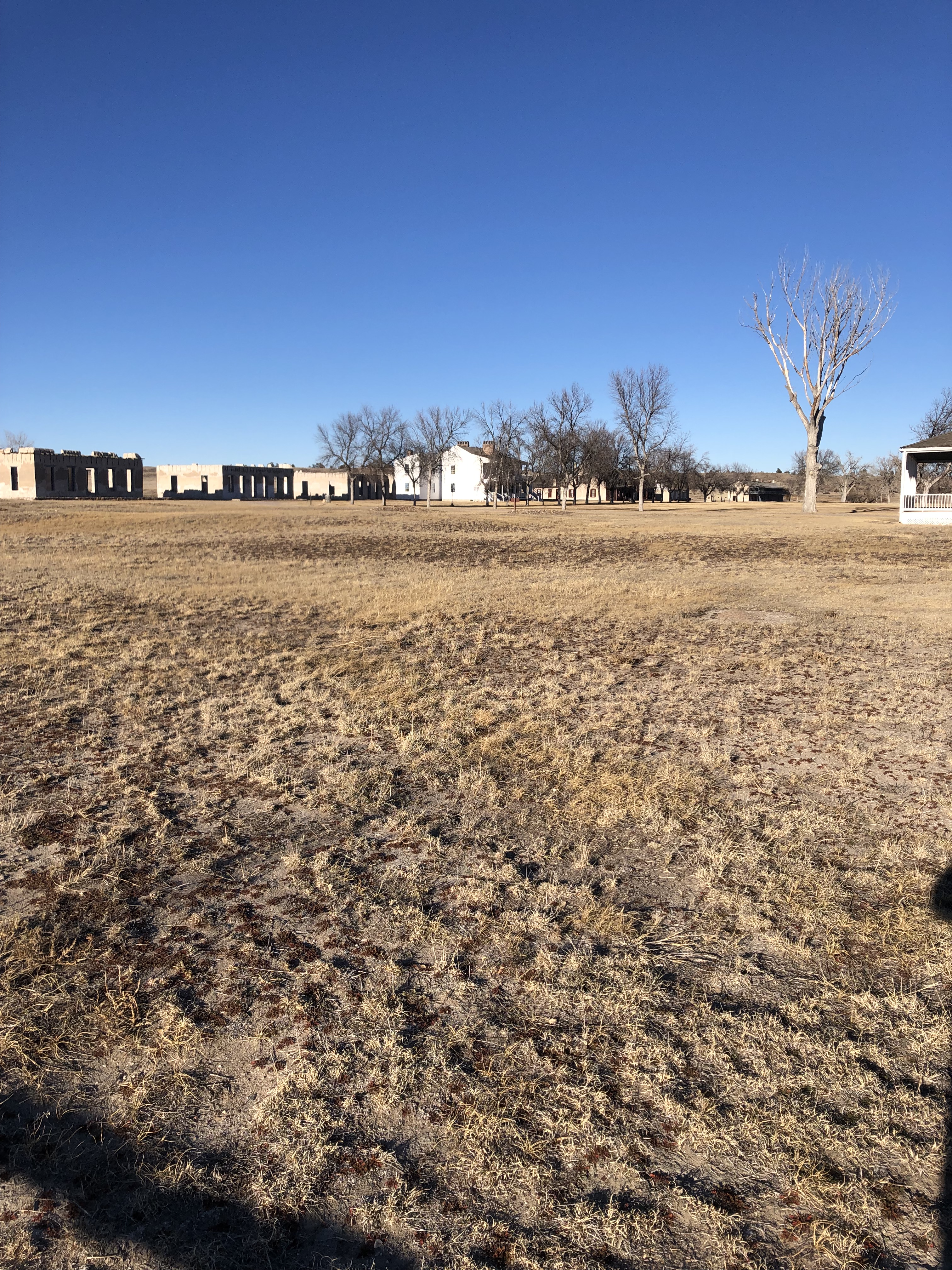
Fort Laramie offers a walk through map of all the grounds, which is outstanding. The fort itself has many buildings that can also be toured. These include barracks, commissaries, Surgeons residents, and the Bedlam. The Bedlam has a fascinating back story of its name and history. There are ruins where edifices didn’t survive the time and plaques of information to enlighten.

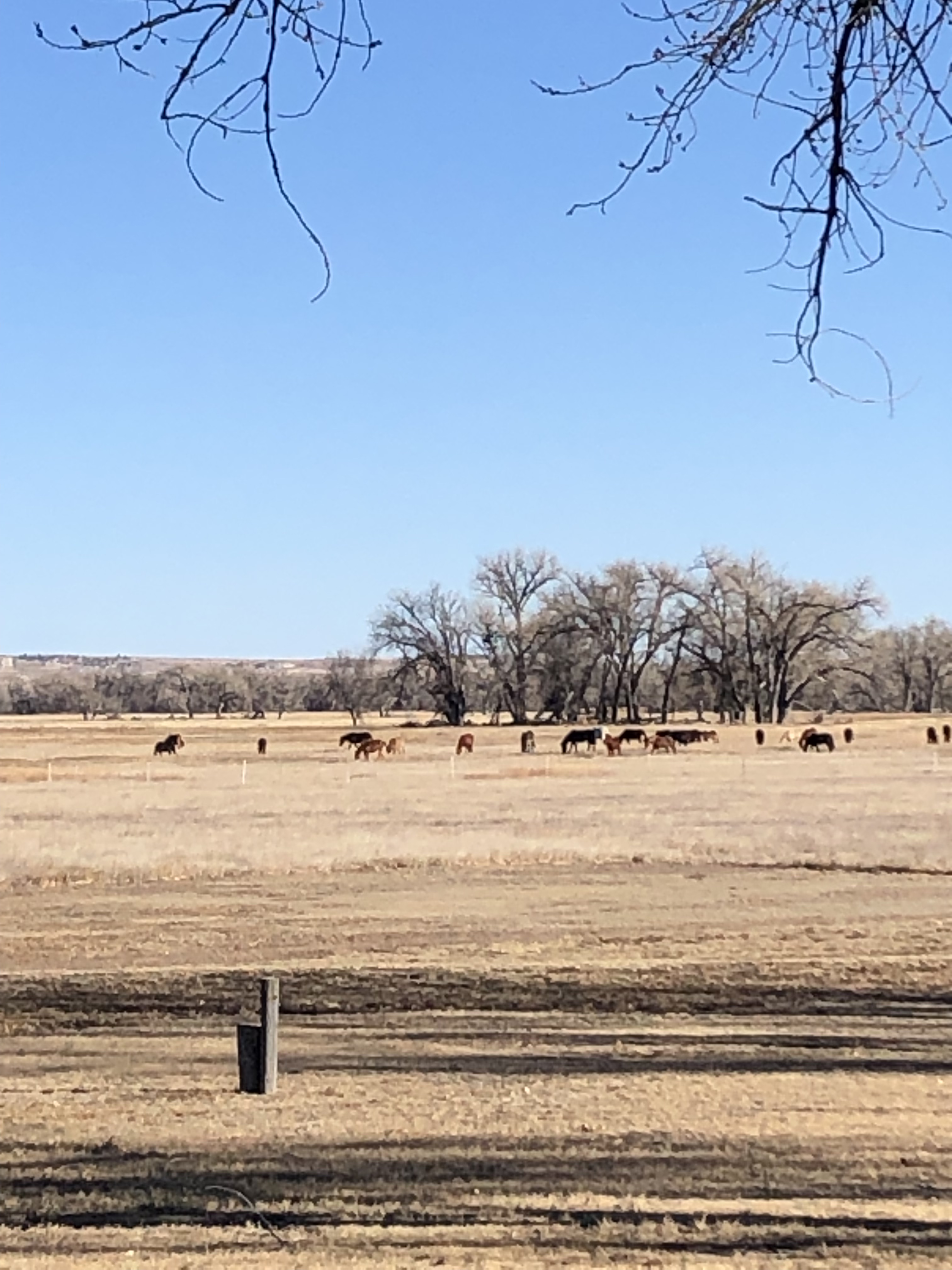
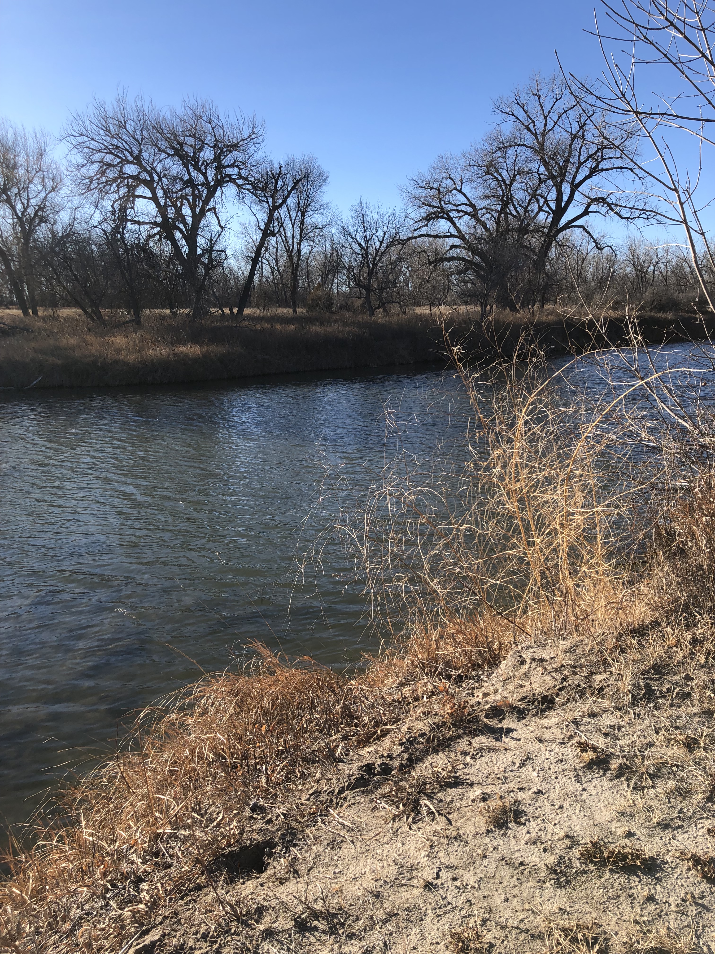
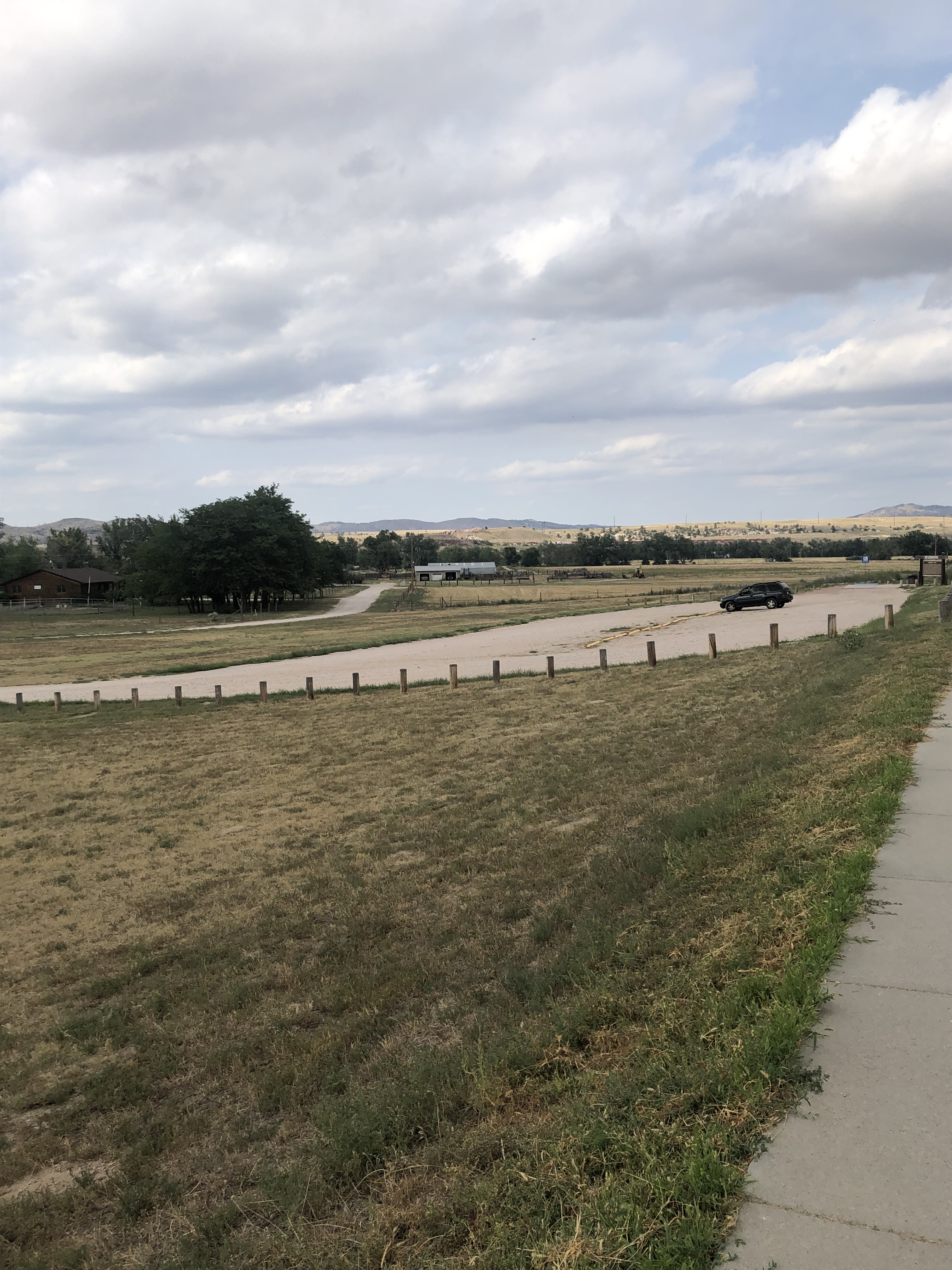
The Laramie river runs along side the fort, providing much needed water then and now to the area, trees grow abundantly and the pastures around still don a herd of horses and a small amount of cattle (I am not sure if they are associated with the fort or not but it’s nice to imagine that the Calvary stationed there would still be in need of the horses and cattle if it were still an active fort!)

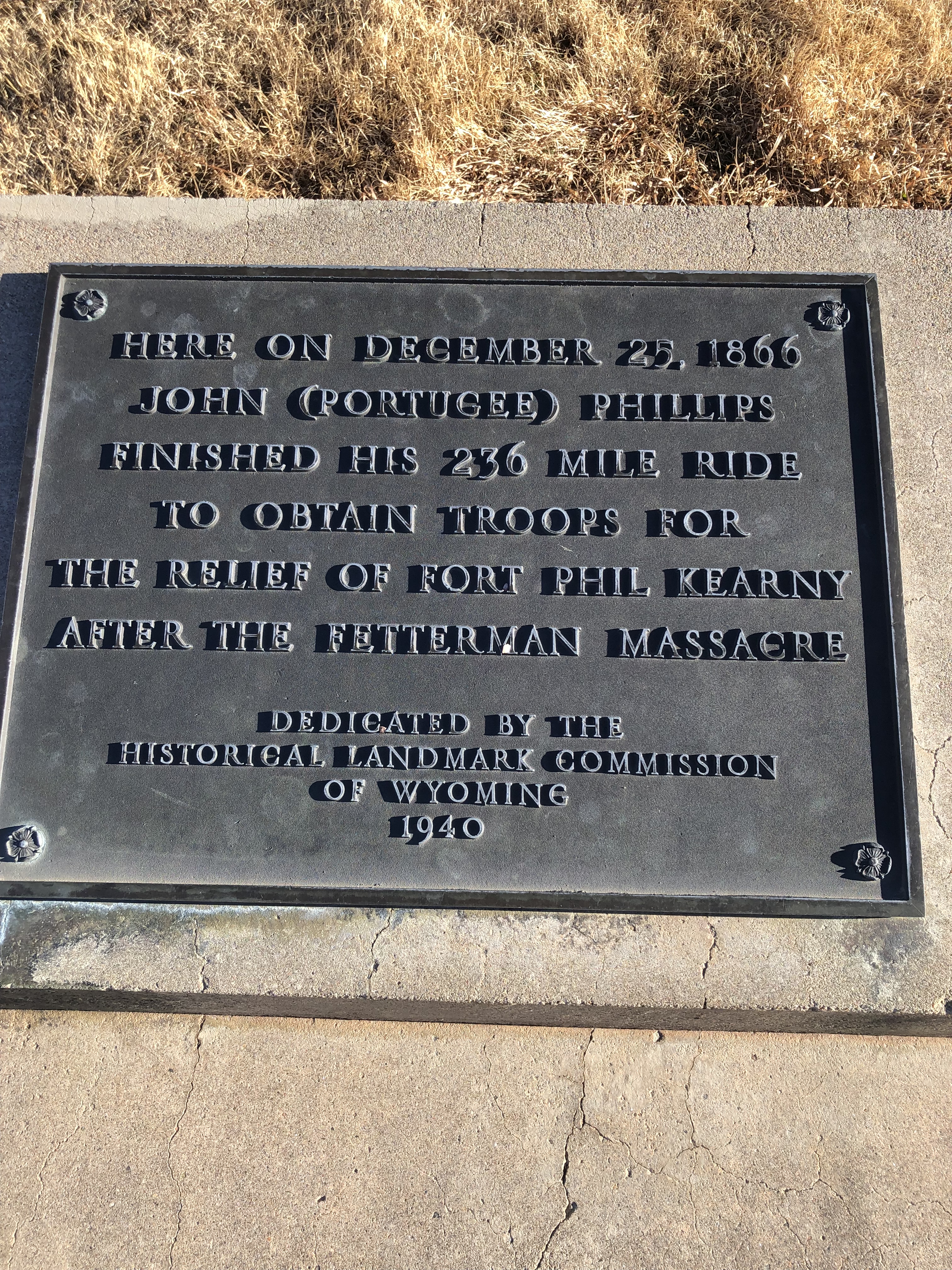
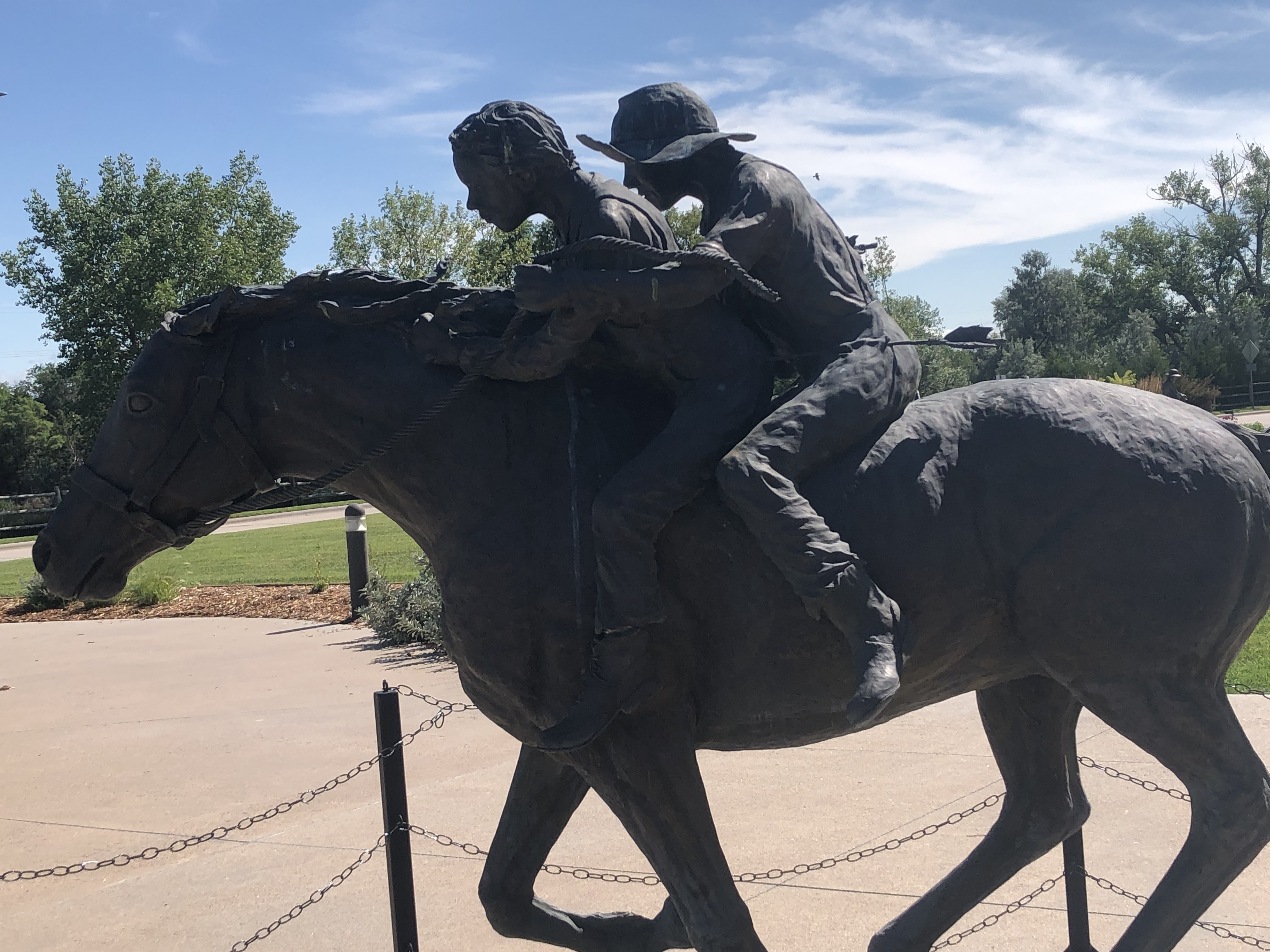
Fort Laramie was also a major trading post and rest stop for those traveling or living in the region–as well as a huge component in the Pony Express–while it lasted for the 18 months it ran. The Pony express had 120 young riders that delivered and most went through Fort Laramie!

The staff at Fort Laramie are well informed. They are super helpful in the knowledge and guidance of the fort. So please stop by and check it out! The entrance and parking are both free and are open year around, except on major holidays!

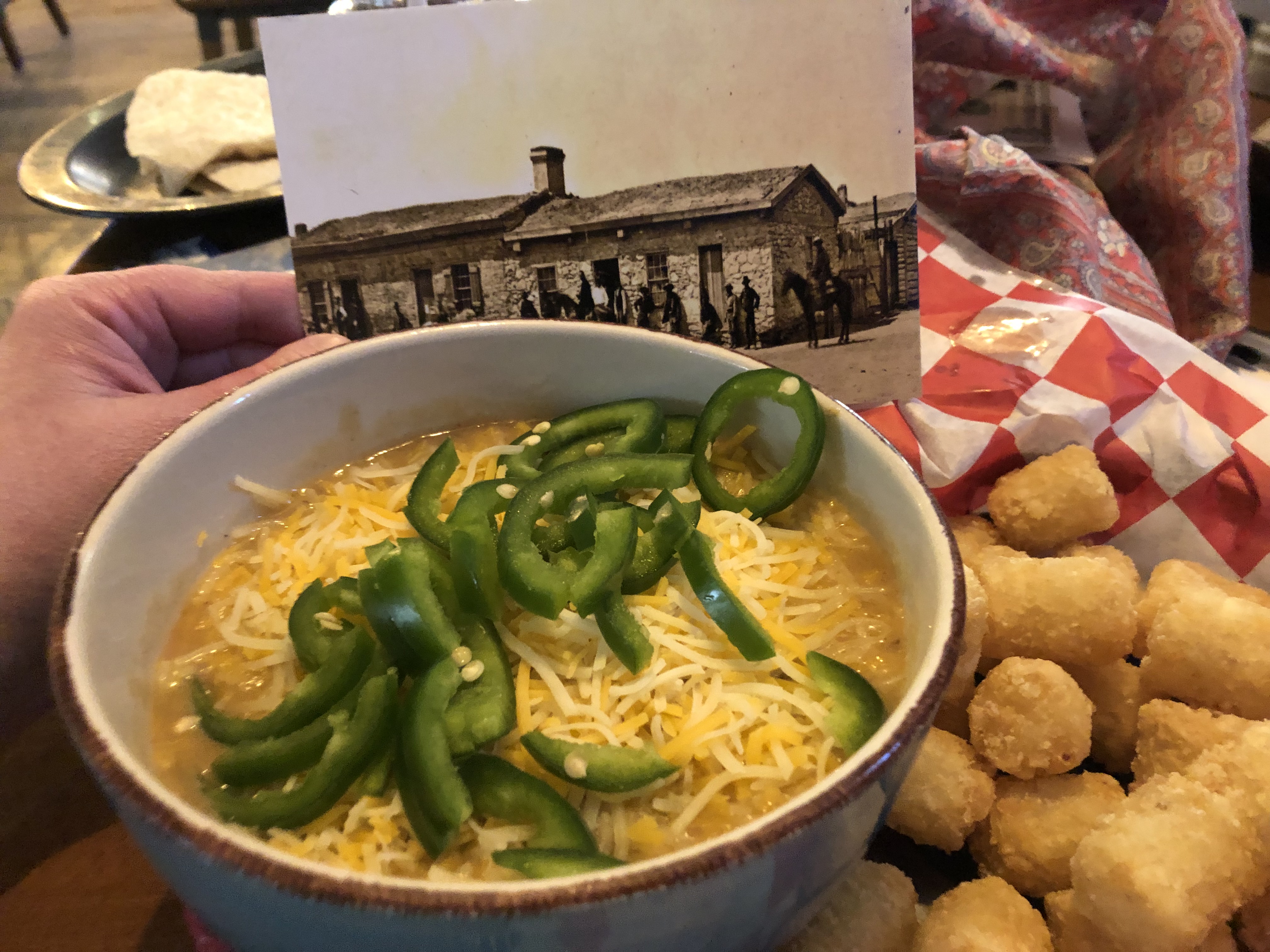
Hungry? Try out “The Fort” Bar and Grill in the town of Fort Laramie, 5 minutes from the Fort, great food and easy to find–wonderful selection

“The Fort” bar and grill located in the town of Fort Laramie is about 5 minutes from the historical site, very yummy cuisine and very afforable. Great service too! Check it out!

Marking the Passage–Register Cliffs, Guernsey, Wyoming


The Oregon/Bozemon/Mormon trail continues here just outside of Guernsey, Wyoming. Visitors can explore the Archway Bridge in Kearney, Nebraska. A sample of the Register Cliff is on show in the museum there.

The pilgrims and travelers traversed the wild west. They would mark their name and year of passage into the limestone walls. Sometimes, they even left notes for those who followed them. One note indicated that if the pilgrim reached Independence Rock by July, they could avoid the mountain pass during the frigid winters. By bypassing the mountain passages in the winter, they had higher success rates of surviving the trail and making it to their destination. This was an important factor to consider when traveling by covered wagon, horse, or on foot.

American history is alive and well here in the Wild Western plains of Wyoming and well worth visiting. Thankfully, settlement has occurred. There is a lovely little town nearby. Travelers and explorers can easily obtain a hot, yummy meal for a reasonable price. Twisters restaurant is located right in the heart of Guernsey. It offers a nice variety of great food and wonderful house brew coffee.

The Archway Bridge-The Great Platte River Road–Kearney, Nebraska! How the West was traveresed


Traversing the country in an SUV is a long trip. It is even more challenging when traveling alone with a goofy dog. Still, it is cheesecake compared to what the pioneers did to settle this country.Fueling up at easy to find gas station (thank you, GPS!) and packing snacks, finding food is a breeze–but for the settlers that came long before me, it wasn’t easy, safe or simple!

We who are, um, more advanced in years recall playing the game “The Oregon Trail.” It had limited graphics. The features went “ping” when a shot was missed at hunting. The game never highlighted the intense journey. It never truly reflected on the scary, long haul it took on body and soul. This was in the quest to cross the nation in search of space, freedom, and expansion.

The history at the Archway Bridge and museum shares the story of the pioneers. It reveals the truth behind their journey, reflecting in the sculptures and museum. There is much more to express, but it’s too much for here. I think you should visit it and see for yourself. I wouldn’t want to spoil a wonderful opportunity. The Buffalo is nice, and the covered wagon is stationary!

The Museum offers some wonderful postcards. It also has a mail depository. You can share the adventures with your friends and family! Another perk, a pressed penny machine (I call them squished pennies as they are elongated in a squished fashion with a cool design imprinted of the location!)

Want to learn more? Click Enduring Spirit of America

Old Pickens Presbyterian Church and Col. John Pickens–American History at the Revolution, South Carolina


A local historical site and more! A cemetary crawl worth taking! Please, listen to the video to get all the information! It’s so awesome!

Don’t forget to check out my eBay, every purchase helps to support my adventures!

A Rockin’ Good Time-Garden of the Gods, Colorado Springs, Colorado


An alternate version of introducing the venue! I had so much fun!

Tory Hole on Cape Fear River


The Revolution comes alive, 236 years later to the day!

The Cape Fear River Basin is home to so much American history, boasting a menagarie of Revolutionary sites, all within walking distance around Elizabethtown, marked with stone signs on pillars, stating events that shaped our nation. The great part is that it is all accessible by foot, with plenty of shade trees and Magnolias  the way, the air filled with the pleasure of summer blossoms.

In 1781, the  Battle of Elizabethtown was fought at ToryHole (now Tory Hole Park on the banks of the Cape Fear River)

      “OAugust 27, 1781, the Revolutionary War Battle of Elizabethtown was fought.

Two weeks earlier, Loyalist forces under Colonel John Slingsby captured several Whig—that is Patriot—supporters in what’s now Fayetteville. Slingsby brought his prisoners to Elizabethtown, in Bladen County.

The day before the battle, a local resident named Sallie Salter entered the Tory camp to sell eggs. Unbeknownst to them, she was a Patriot spy. She reported to Colonels Thomas Robeson, Jr., and Thomas Brown, commanders of a band of Bladen County militiamen that had withdrawn to Duplin County. Her information led to a decision to attack Slingsby.

This was a considerable gamble, as the Patriot command numbered between 60 and 70 men, while Slingsby’s forces totaled between 300 and 400.

After a night march, the militiamen launched a surprise attack on Slingsby’s camp. The resulting confusion was amplified by the successful efforts of the Whigs to make the Tories think that there were far more Patriots present than there actually were.

With Slingsby dead, the Tories retreated to a ravine, afterwards called “Tory Hole.” There they were fired upon until they surrendered. The Patriot victory permanently weakened Tory power in the Cape Fear region.”

 (Courtesy of 

https://www.ncdcr.gov/blog/2016/08/27/battle-of-elizabethtown-culminated-at-the-tcory-hole)